

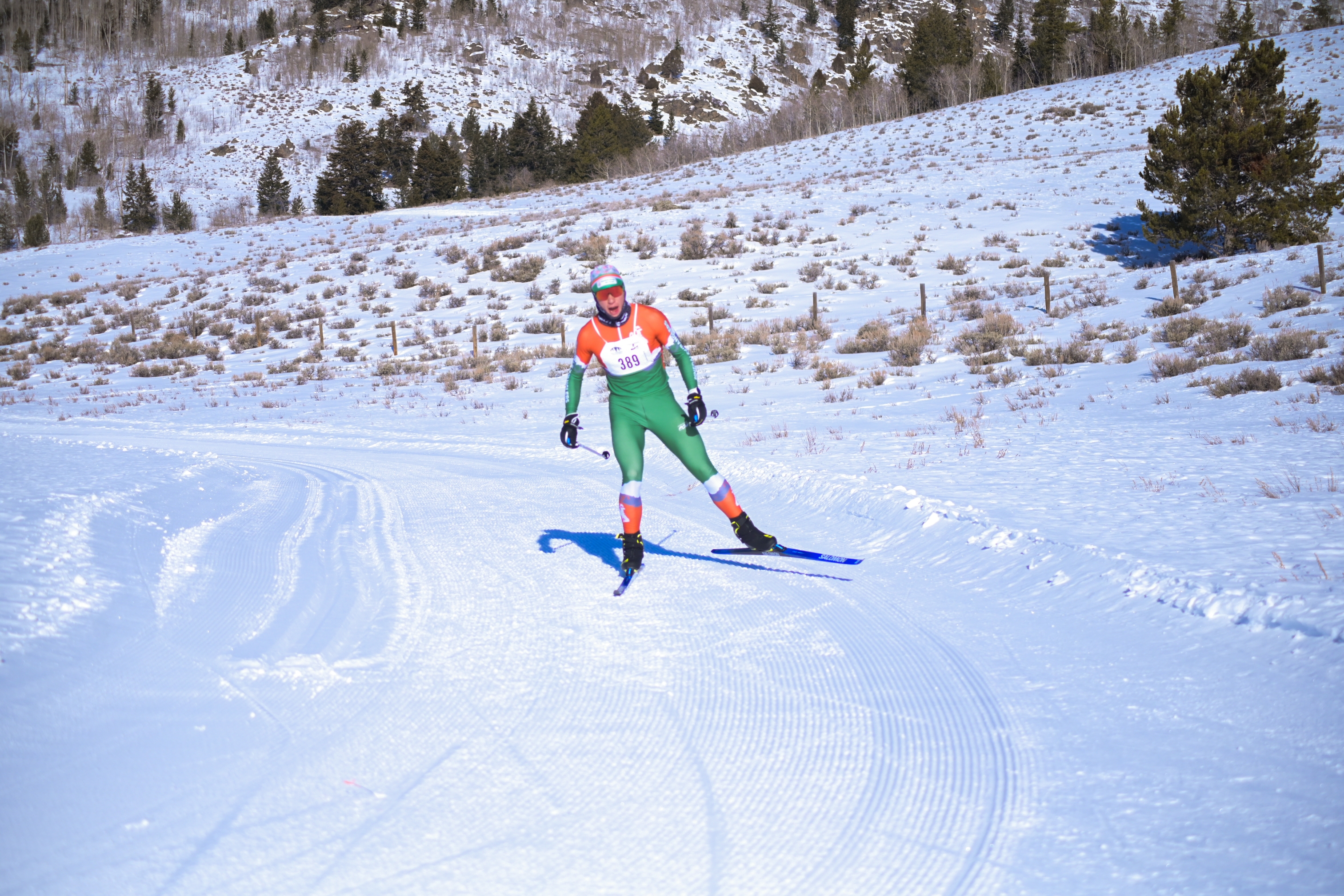

Sublette County offers world class winter recreation on 26 miles (42 km) of groomed trails. These trails are open to multiple uses including hiking, snowshoeing and fat biking but are closed to motorized use with the exception of the Skyline Drive Trail. All of the trails are groomed and maintained with county funding via the Sublette County Recreation Board, and with extensive volunteer support and there is no fee for use. While recreating on these trails, please respect the courtesy rules (detailed below). Enjoy and we look forward to seeing you out there!
CCC Ponds Nordic Trails+
Toutes
| ABC | Distance | Ouvert | Dernier damage | |
|---|---|---|---|---|
Lake Connector | 0.34km | |||
North Loop | 1.8km | |||
Sage Loop Cutoff | 0.25km | |||
South Loop | 0.91km | |||
The Ski Path | 1.59km |
Rendez-vous Golf Course Trail+
Toutes
| ABC | Distance | Ouvert | Dernier damage | |
|---|---|---|---|---|
Rendez-vous Golf Course | 2.83km |
Skyline Nordic Trails+
Toutes
| ABC | Distance | Ouvert | Dernier damage | |
|---|---|---|---|---|
Aspens | 0.98km | |||
Flatline | 1.4km | |||
Half Moon Tie-In | 1.21km | |||
Heart Attack | 1.7km | |||
Kelly Park Easy Out | 0.3km | |||
Kelly Park Loop | 2.8km | |||
Kelly Tie-In | 0.93km | |||
Looney Lane | 1.08km | |||
Lower Surveyor Park Trail | 1.26km | |||
Meadow Connector | 0.09km | |||
Meadow Loop | 2.57km | |||
Mini Loop | 0.16km | |||
Moose Ridge | 0.72km | |||
Old Road Trail | 2.52km | |||
Pine Marten | 2.26km | |||
Power Line Trail | 1.03km | |||
Skyline Connector | 0.15km | |||
Skyline Drive Trail | 7.27km | |||
The Drop | 0.15km | |||
Tree Loop | 2.81km | |||
Tree Loop Connectory | 0.1km | |||
Upper Surveyor | 1.24km | |||
West Lower Surveyor Loop | 1.56km | |||
Race Connector | 0.09km |
STAmpede Nordic Race+
Toutes
| ABC | Distance | Ouvert | Dernier damage | |
|---|---|---|---|---|
10k C | 9.26km | |||
5k C | 5.11km | |||
2.5k C | 2.48km |
Développé avec